| MAP |  |
| CONNECTIVITY IMAGES |
 |
| Major Roads | ||
| Expressway | ||
| North South Line | ||
| East West Line | ||
| North East Line | ||
| Circle Line | ||
| Downtown Line | ||
| Thomson Line | ||
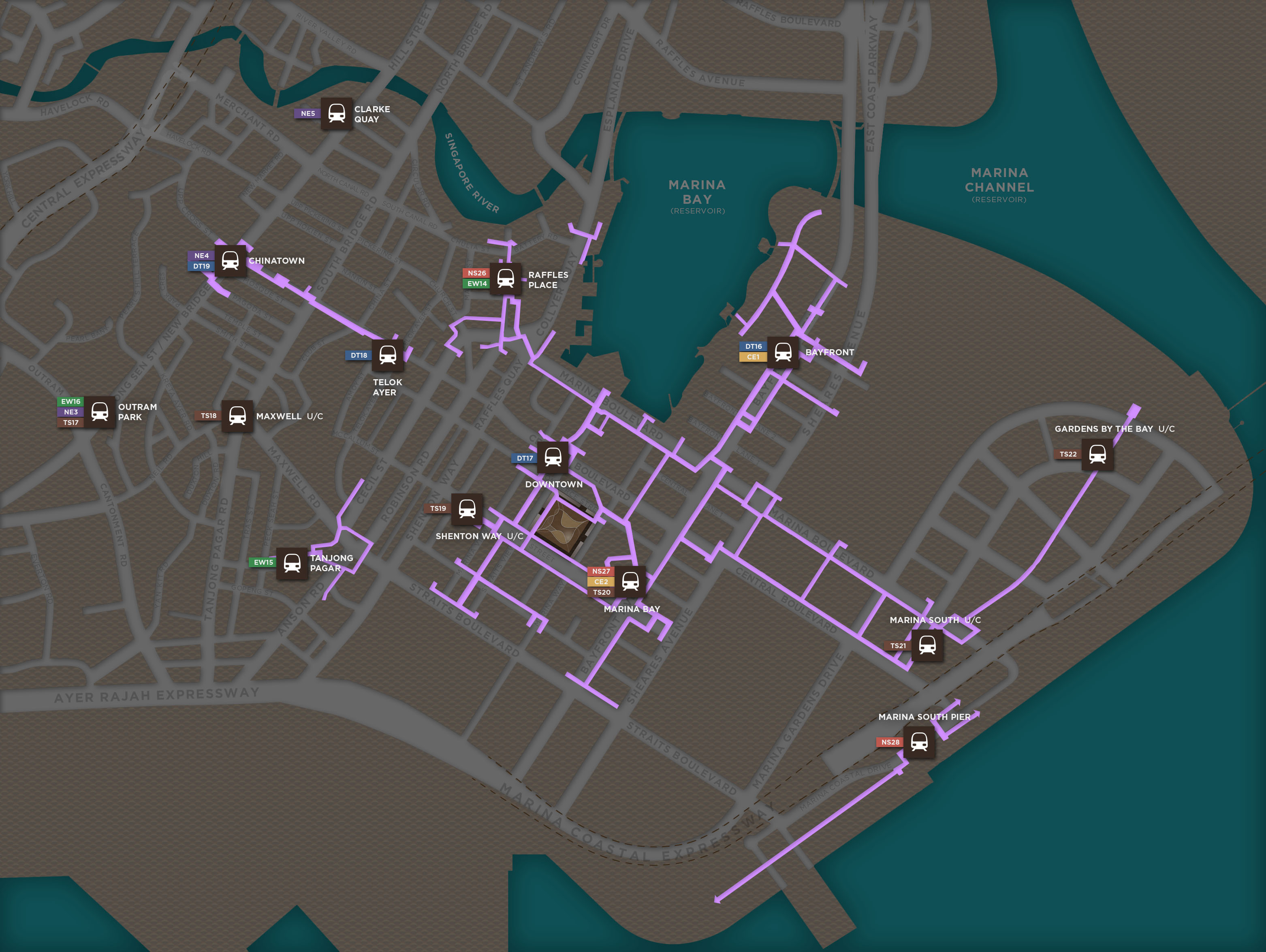
| Future Underground Pedestrian Network |
*Referenced from URA Masterplan 2014
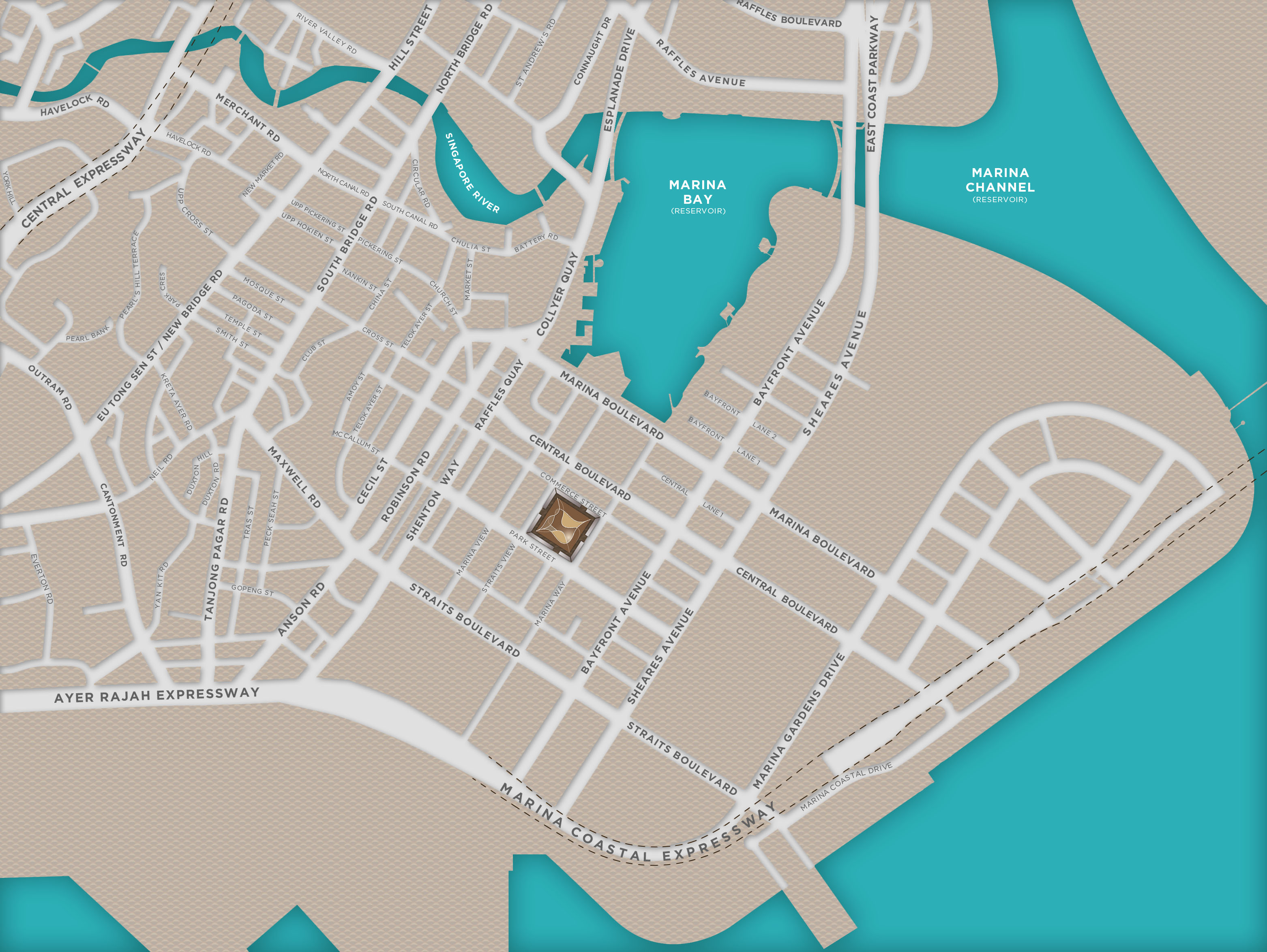
The location plan does not show:
The location plan does not show:
The location plan does not show:
- 1. the scale used; and
- 2. the names of streets, prominent buildings, facilities and other features in the vicinity within a radius of 500 metres of the building project. Specifically, public housing flats and names of streets which are within the 500 metres radius are not shown or marked.
|
|
|
|

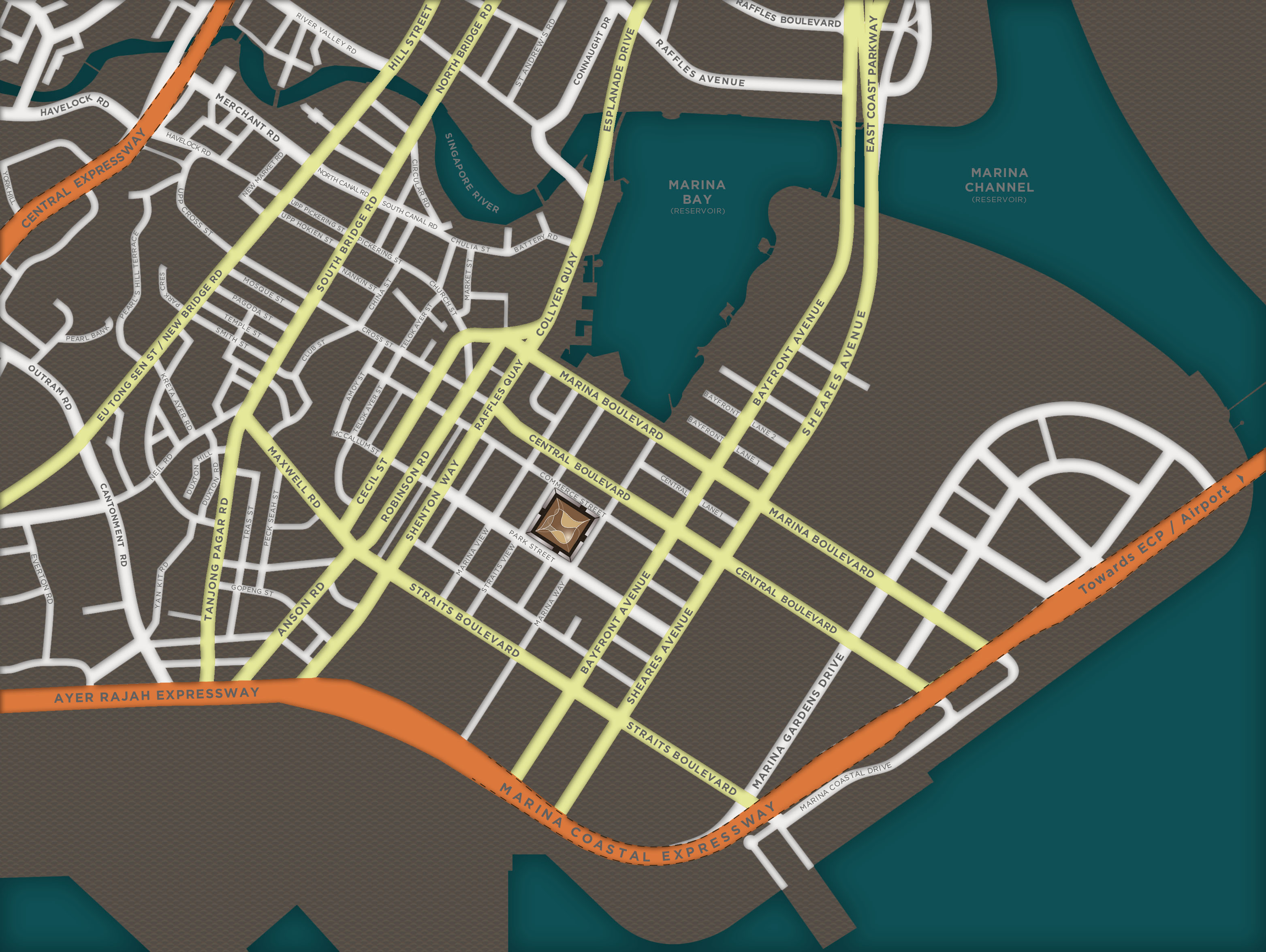
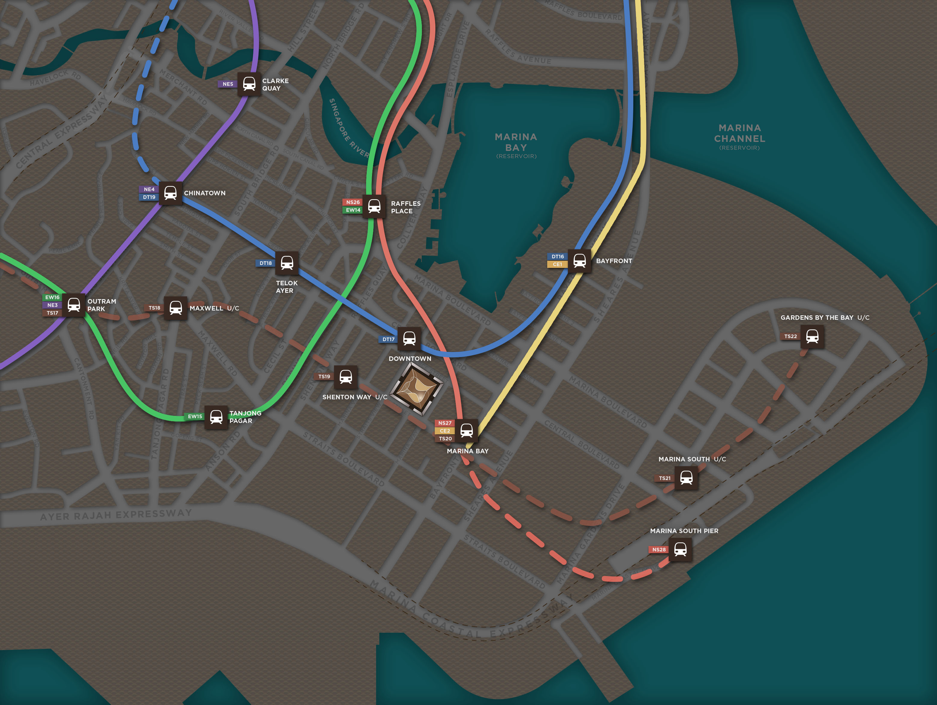
| • | Seamlessly connected to 4 MRT lines (North South, Circle, Downtown and Thomson Lines) |
| • | Island-wide connectivity via the Marina Coastal Expressway, East Coast Parkway, Ayer Rajah Expressway and Kallang-Paya Lebar Expressway |
| • | Close proximity to Marina South Pier, a terminal that ferries into the Southern Islands and Marina Bay Cruise Centre, the latest cruise terminal and architectural icon in Singapore |
| • | A 2-minute MRT ride to Raffles Place, 8-minute MRT ride to Orchard Road, and 16 minutes by car to Changi Airport |
| a central connected SPACE | |
| Marina Bay is well served by a comprehensive transport network including underground mass rapid transit stations and major expressways, providing residents immediate access to the rest of the island and beyond. | |